From Lake
Taupo we continued on to our next stop, the Tongariro National Park. The road
there was quite an adventure in itself! Very windy, narrow and quite steep in
sections with a few hairpin turns, but we made it. We chose Ohakune as a base
to explore the park. Winter is the high season here, so the town was really
quiet, many stores had shorter opening hours or were completely shut for the
whole summer. Winter skiing seems to be the main attraction but Summer is
beautiful too with many hikes and mountain bike trails to choose from.
We had three
full days to explore the park. There are so many wonderful hikes to do. Judging
by how quiet the different tracks, many people seem to focus on the Alpine Crossing
but it was definitely worth spending some extra time and doing some of the
other hikes. The first day in the area was forecast to be just as hot as the
whole week had been and then cooling down with some rain expected on the third
day. We chose to do a warm up hike on the first day to stretch our legs and get
the lay of the land before tackling the Alpine Crossing on the second day. The
third day would be a rest day.
We chose the
17 km Tama Lakes with a similar landscape to the crossing as a warm up hike. This
track is an extension of the two hour Taranaki Falls hike and is also part of some
multi-day hikes and is well-known for beautiful and uninterrupted views of Mt
Ruapehu and Mt Ngauruhoe all the way to the lakes on a hot clear day such as it
was. The route is mostly level on a well-formed and easy to navigate track but
also open and exposed with low tussock grasses and alpine herbs as low scrubby
vegetation. From the viewpoint of the lower lake it is a short but steep climb
up a scree slope to the viewpoint of the second lake. Even on a calm day the wind
was howling here on the Tama Saddle between Ruapehu and Ngauruhoe, a windproof
jacket is a must. While we were at this viewpoint of the upper lake, we heard
and a loud eruption coming from somewhere nearby which was a little unnerving.
There were not many people around, but those that were didn’t seem too
perturbed. We concluded that it must be a frequent occurrence but also didn’t
stick around for much longer. We didn’t fancy being out on an exposed track if
a bigger eruption followed soon after! We passed Taranaki Falls on the way back
to the info centre and start of the hike. The vegetation changed much at this
part of the hike to tall trees and lush forest around the stream. Also nearby
is Tawhai Falls which was used as Gollum’s Pool in the Lord of the Rings movie
trilogy. We enjoyed cooling our hot feet in the cold rushing water!

Mt Ngauruhoe on the Tama Lakes hike

Mt Ruapehu on the Tama Lakes hike

View of the lower Tama Lake and Mt Ruapehu

The lower Tama Lake

The Upper Tama Lake and Mt Ngauruhoe

Mt Ruapehu

Taranaki Falls


The stream flowing from Taranaki Falls
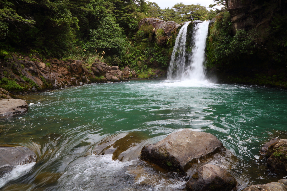
Tawhai Falls
Gollum's Pool in The Lord of The Rings trilogy
The next day
was misty, cloudy and cool in the early morning, perfect for tackling the
Tongariro Alpine Crossing. Billed as New Zealand’s best day hike, the crossing
is a 19.4 km 6-8 hr hike from the Mangatepopo Road car park to the Ketetahi Road
car park. Some logistics is required since the start of the hike is a 40 min
drive from Ohakune, it’s a one-way point-to-point walking route and the parking
limit is 4 hrs. There are many shuttle bus companies providing a pick-up and
drop-off service; while we found these to be a bit pricey, there aren’t many
alternative options and actually we were quite thankful to not have to drive
the 40 km back after this epic but exhausting hike.
The track is
best viewed in sections. From Mangatepopo (approx. 1100 m) to Soda Springs it
is easy going on a well-formed and mostly flat track with boardwalks over wet
areas and we enjoyed the opportunity to stretch and warm up. From Soda Springs
it was a steep and tough climb up Devil’s Staircase over layers of ancient and
recent lava flows to South Crater (approx. 1660 m), fortunately it is a proper
stepped boardwalk which helped a lot. South Crater to Red Crater starts with a
short flat section as a reward after Devil’s Staircase before the final steep
scree ascent to Red Crater (highest point of the hike at approx. 1900 m). It
was cloudy and cool all the way thus far and cooled down further with strong
winds up to Red Crater. We missed the amazing views that were to be had up to
Red Crater due to the cloud and billowing mist, Justin was a bit bleak but Bron
was thankful that it was a cooler day for hiking in this exposed environment.

Start of the Tongariro Alpine Crossing

Also first part of the walk before Devil's Staircase

Red Crater is to the right of this pic, final ascent before the steep scree descent
From Red
Crater it cleared completely to reveal amazing views of the Emerald Lakes and
Blue Lake, a reward for the steep descent down a scree slope that was more
sliding and surfing on sand than walking. It was a little challenging with so
many hikers on the trail. Some people were walking in the opposite direction on
a different multi-day hike, not sure how they made it up that hill with so many
people coming down! From Emerald Lakes (approx. 1700 m) it was a short and
easier climb to Blue Lake and North Crater (approx. 1710 m) followed by a small
mostly flat stretch before starting gently down to Ketetahi Hut. From the hut
it is a steady and hard descent to the end of the trail at Ketetahi Road car
park (approx. 700 m). Bron was a bit over the descent with still 3 km to go! It
was a hard finish.

Red Crater

Looking back at the steep scree descent from Red Crater

One of the Emerald Lakes

One of the Emerald Lakes looking forward to the rest of the hike

The same Emerald Lake looking back at the steep scree descent from Red Crater
This pic doesn't really do justice to how steep this slope is!

Emerald Lakes with Red Crater in the background
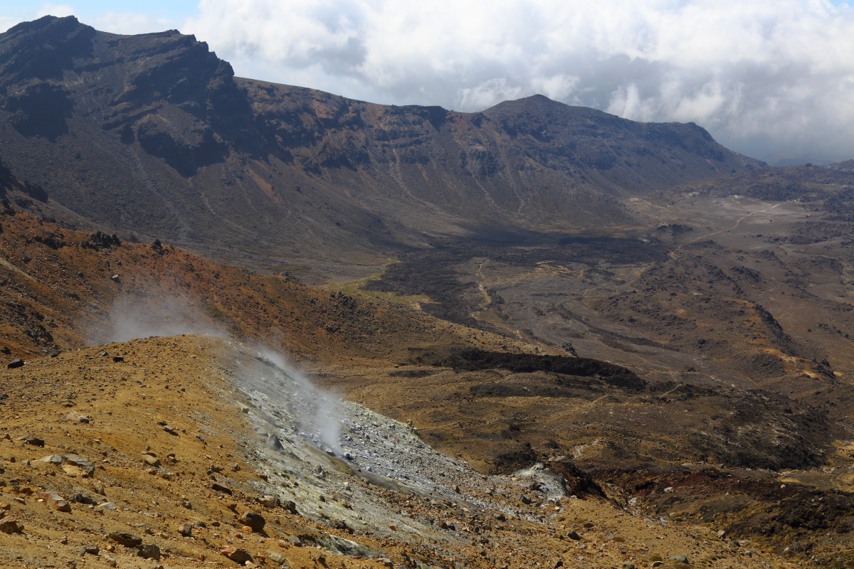
Steam rising from the ground

Before Blue Lake looking back at Emerald Lakes (unseen) and Red Crater almost enveloped in the clouds.
In this picture you can appreciate how steep that descent is!
The vegetation
also changes much through the walk, from alpine scenes with tussock grasses to
almost none in the lava flows around Red Crater, to thick lush vegetation at
the end. We completed the hike in about 6.5 hrs without rushing and including
lots of time for taking photos, catching our breath, having a snack, and
enjoying the views. If you are planning to tackle the crossing, do some
homework beforehand and come prepared with water, food, a basic first aid kit,
appropriate footwear, and suitable clothing bearing in mind conditions can
change rapidly. This was a challenging and demanding hike but definitely worth
it and the label of NZ’s best day hike!


Blue Lake, halfway point of the hike

Looking back at Red Crater from Blue Lake

Start of the descent down to Ketetahi Hut and Road

Bron on the descent to Ketetahi Road
The challenge and awesomeness of the Tongariro Alpine Crossing is difficult to convey in a few words and pictures! Enjoy this GoPro video for a more comprehensive overview of our day out! (If you experience difficulties with the link, copy and paste this URL into your web browser: https://gopro.com/v/8vGl6r68My4Vn)
That night was
forecast to rain and we enjoyed sleeping in late and a very slow start with a
delicious brunch. Our third day in this area was much slower but we still
wanted to stretch after the long hike. We kept it local and took a drive to the
start of the Mt Ruapehu ski fields and also stopped at the Mangawhero Falls
viewpoint. We enjoyed the nice flat and well‑formed 4 km return Waitonga Falls
walk through some forest and also open plains. The last walk for the day and
this area was the 3 km Mangawhero Forest Loop.

Misty day for a walk to Waitonga Falls

Waitonga Falls and stream

Spider web at the falls

On the Waitonga Falls track

Mangawhero Forest


View of Mt Ruapehu at sunset from our accommodation.
Thank you Tongariro National Park!
Next time: Wellington and Marlborough.


